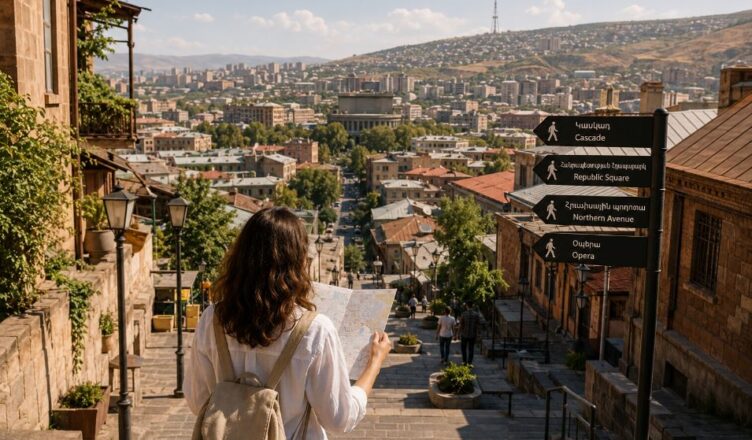
Ask for directions in Yerevan, and you may receive an answer that sounds less like a map and more like a short story. Someone may tell you to walk past an old cinema, turn near a familiar supermarket, continue uphill until the street becomes quieter, and then look for a building beside a small courtyard.
To a first-time visitor, this way of explaining the city can feel surprisingly imprecise. There may be no street number in the first sentence, no carefully measured distance and no simple instruction to walk north or south.
Yet for many local residents, these directions make perfect sense.
Yerevan is not understood only through official addresses. It is also remembered through visible corners, familiar buildings, slopes, courtyards, trees, underpasses, shops and places connected with personal experience.
This creates a second map of the city — one that does not appear on a phone screen but lives in conversations and memory.
A City Can Have More Than One Map
Every city has an official geography. It consists of street names, building numbers, districts, public transport routes and administrative boundaries.
But residents gradually create another geography through daily life.
The bakery where they stopped before school becomes a reference point. A wide staircase becomes the easiest way to reach another street. A building with an unusual façade becomes more useful than its official address. A small square may be remembered because people once waited there for friends.
This informal map develops naturally. It is built through repetition.
When someone walks the same route for years, the city stops feeling like a collection of numbered streets. It becomes a sequence of familiar scenes.
That is why a local person may immediately understand the phrase “near the old department store,” even if the shop changed its name long ago.
Why Street Names Are Sometimes Not Enough
Visitors often expect an address to solve everything. They enter it into a navigation application and assume the destination will be easy to recognize.
In central Yerevan, that approach often works well. Streets are busy, entrances are visible and many buildings face the main road.
Outside the most obvious areas, however, one official address may contain several entrances, inner passages or buildings positioned behind one another.
A door may face a courtyard instead of the street. The correct entrance may be beside a shop rather than beneath the building number. A destination may be technically close but separated by a wall, staircase or change in elevation.
In such cases, a landmark becomes more useful than the address itself.
“Enter from the side of the pharmacy” may save more time than simply repeating the building number.
Yerevan Is Read Vertically as Well as Horizontally
Maps usually appear flat. Real cities are not.
In Yerevan, elevation can quietly change the meaning of distance. Two points may look close on a screen, yet the route between them may include a long uphill street, several staircases or a gradual climb that becomes tiring in hot weather.
Local residents often include this vertical information when giving directions.
They may say that a place is “a little higher,” “below the avenue,” “up toward the park” or “down from the main road.” These descriptions are not decorative. They explain how the route will actually feel.
A first-time visitor may think only in terms of left and right. A resident often thinks in terms of up and down as well.
This becomes especially important when choosing between two routes. The shortest route on a map may not be the easiest one on foot.
The Meaning of “Up” and “Down” in Local Directions
In many conversations, “go up” does not necessarily mean walking toward a named compass direction. It usually means moving toward a visibly higher part of the street or district.
Similarly, “go down” often indicates movement toward a lower avenue, larger road or more central part of the area.
These expressions are simple, but they reveal how residents experience the city physically.
A route is not just a line. It has effort, rhythm and direction.
Walking uphill may take longer than expected. Walking downhill may be faster but lead to a different entrance. A staircase may connect two places that seem unrelated when viewed from the road.
Understanding this language makes spoken directions in Yerevan much easier to follow.
Buildings Become Informal Signposts
Some buildings are remembered because they are famous. Others become local landmarks for much smaller reasons.
A residential block may have a bright ground-floor shop. Another may stand alone at the edge of a crossroads. One building may have arches, dark stone, a distinctive balcony or an unusually wide entrance.
Residents begin using these details to explain nearby locations.
Instead of saying “building 27,” someone may describe “the tall building after the flower shop.” The description may sound casual, but it is based on what a person can actually see while walking.
Visual landmarks are especially useful when street numbers are small, entrances are hidden or several neighboring buildings look similar.
The city becomes easier to read when you stop searching only for numbers and start noticing shapes, colors and street-level activity.
Shops Often Function Like Urban Coordinates
Small businesses play an important role in informal navigation.
Pharmacies, bakeries, supermarkets, cafés, repair shops and fruit stores are not only commercial spaces. They often become meeting points and reference markers.
A person may explain that an entrance is “behind the supermarket,” “opposite the bakery” or “next to the pharmacy.”
This works because shops are usually more visible than residential entrances. Their signs can be seen from a distance, and people remember them after passing only once or twice.
Of course, businesses can close or move. But even then, their former locations may remain part of local speech for years.
A place can continue to be called by the name of something that no longer exists there.
The Strange Life of Old Place Names
Cities change faster than the language people use to describe them.
A shop may receive a new name. A cinema may close. A market may be renovated. A bus stop may officially be renamed.
Yet residents often continue using the older reference.
This can confuse visitors. They may search for a sign that disappeared years ago while the person giving directions assumes the name is still universally understood.
These old place names survive because they are connected to shared memory. For many residents, they describe not only a location but an entire period of city life.
The name remains useful because other people still recognize it.
In this way, everyday speech preserves parts of Yerevan that physical reconstruction may have already changed.
Courtyards Create Hidden Routes
From a main street, a residential block can appear closed and simple. Inside, however, it may contain passages, secondary entrances and connections to neighboring spaces.

Some courtyards work almost like small internal streets.
Residents use them to reach homes, shops, garages or quieter parallel roads. A route through a courtyard may be shorter than walking around the entire block.
Visitors usually do not notice these paths because they are not always clearly marked. An opening between buildings may look private even when people regularly walk through it.
This is one reason local directions sometimes include phrases such as “go through the arch” or “cross the courtyard.”
The visible street network is only part of the city. Yerevan also contains a quieter network of internal routes.
Arches and Passages Can Change the Entire Journey
An arch beneath a building may appear unimportant, but it can connect a busy avenue with a calm residential space.
Passing through it may suddenly change the sound, light and scale of the city.
Traffic noise fades. Balconies become visible. Laundry may hang above the courtyard. Children, neighbors or parked cars occupy a space that seemed invisible from the street.
For residents, these passages are ordinary parts of daily movement. For visitors, they can feel like discovering a second city behind the first one.
When someone includes an arch in their directions, pay attention. It may be the key to reaching the correct entrance.
Large Roads Divide Areas More Than Maps Suggest
Two buildings may be geographically close but feel far apart if a large road separates them.
The correct crossing may be located away from the direct line between the two points. An underpass, pedestrian light or staircase may determine the practical route.
This is why locals often give directions according to safe and familiar crossing points rather than the shortest possible path.
A navigation application may suggest approaching from one side, while a resident knows that entering from another street is simpler.
When asking for directions, it is helpful to mention whether you are walking, driving or arriving by public transport. The best route can change completely depending on how you travel.
Bus Stops Are Often Better Known Than Exact Addresses
For many residents, the nearest bus stop is an important part of a location’s identity.
Someone may explain that a building is “two minutes above the stop” or “across the road from the final stop.”
This information can be more practical than an exact address because it connects the destination with a familiar travel route.
Bus stops also serve as natural meeting points. They are visible, accessible and usually easier to describe than a residential entrance.
When visiting a less familiar district, asking for the nearest stop can simplify the final part of the journey.
People Navigate Through Personal History
The most interesting local directions often contain small fragments of biography.
“Turn where my school used to be.”
“It is near the park where we played as children.”
“Walk past the building where my aunt lived.”
These details may not help a stranger immediately, but they show how strongly urban geography is connected with memory.
People do not experience the same city in the same way.
For one person, a street is simply a route to work. For another, it is connected with childhood, family, university or an important meeting.
The physical city is shared, but the emotional map is personal.
Why Locals Sometimes Underestimate Distance
A resident may say that a destination is “very close,” only for a visitor to discover that it requires a fifteen- or twenty-minute walk.
This is not necessarily an attempt to mislead anyone.
Familiar routes feel shorter. When people know every crossing, turn and landmark, they do not experience the same uncertainty as someone walking there for the first time.
A local person may also judge distance according to habit rather than time. A route walked regularly can feel effortless even if it includes a hill or several blocks.
Visitors should therefore treat expressions such as “nearby” and “just a little farther” as flexible rather than exact measurements.
When timing matters, ask how many minutes the walk usually takes.
“Five Minutes” May Describe Simplicity, Not Time
In casual directions, “five minutes” can sometimes mean that the route is simple and not worth worrying about.
It may take slightly longer, especially if you stop to check signs or wait at a crossing.
The phrase often communicates reassurance: the destination is manageable, familiar and not far enough to require another vehicle.
This difference between literal time and conversational meaning appears in many cities, but visitors notice it quickly in Yerevan because spoken directions are often warm and informal.
It is better to understand the intention than to measure every minute.
Navigation Applications Help, but They Do Not See Everything
Digital maps are extremely useful in Yerevan. They help identify streets, estimate travel time and locate businesses.
However, they do not always explain which entrance to use, whether a passage is open or how a steep route will feel.
A map may bring you to the correct building but the wrong side of it. It may show a short pedestrian line without making the elevation obvious. A recently changed shop or entrance may not yet be represented accurately.
The most effective approach is often a combination of technology and human explanation.
Use the map for the general route. Use local directions for the final fifty metres.
Take a Screenshot Before You Leave
Internet access can become unstable at exactly the wrong moment. A phone battery can fall quickly while navigation remains active.
Before starting an unfamiliar route, save a screenshot showing the destination, nearby streets and at least one recognizable landmark.
Do not capture only the final pin. Include enough of the surrounding area to understand where you are approaching from.
It is also useful to save the destination name in Armenian if available. Showing the written address to a driver, shop employee or passer-by can prevent pronunciation problems.
How to Ask for Directions More Effectively
A broad question such as “Where is this address?” may produce a long and confusing answer.
A more specific question usually works better.
You can ask:
- Is it above or below this road?
- Which side of the street is it on?
- Is the entrance from the avenue or the courtyard?
- What is the closest visible shop or building?
- Do I need to use an underpass or staircase?
- How many minutes does it take to walk?
These questions turn an abstract address into a route you can visualize.
Confirm the First Step Before Memorizing Everything
When someone gives a long sequence of directions, visitors often try to remember every turn at once.
A simpler method is to confirm only the first landmark.
Ask, “Do I first walk toward that supermarket?” Once you reach it, check the next step or ask again.
This prevents one early misunderstanding from ruining the entire route.
Yerevan’s streets are social spaces. Asking a second person for help is normal and usually easier than walking far in the wrong direction.
Look at the Direction of Building Numbers
When addresses are visible, observe whether the numbers are increasing or decreasing as you walk.
This simple habit helps you understand whether you are moving in the correct direction, even when the destination is several blocks away.
Also remember that the entrance number, apartment number and building number are different pieces of information.
Before arriving, clarify whether you need a specific entrance or intercom code. Reaching the correct building does not always mean reaching the correct door.
Use Elevation as a Navigation Tool
If a person tells you that the destination is above a park, below an avenue or higher than a major intersection, keep checking the slope as you walk.
The shape of the street can confirm that you are moving correctly even before you recognize the final landmark.
Elevation also helps when returning. A route that was downhill on the way there will naturally be uphill on the way back.
This sounds obvious, but it can help visitors mentally prepare for the return journey, especially during the hottest part of the day.
Choose Meeting Points That Cannot Be Confused
“Meet near the square” may sound simple, but large public spaces can have several corners, entrances and cafés.
A better meeting point is something visually specific: a particular statue, fountain, metro entrance, hotel doorway or named shop.
When arranging a meeting, send a photograph or map pin and specify which side of the landmark you mean.
This is particularly useful when meeting someone who does not speak the same language fluently.
Why Getting Slightly Lost Can Be Useful
Not every wrong turn is a problem.
In a city understood through passages, slopes and landmarks, small navigation mistakes can reveal places that planned routes miss.
You may discover a quiet courtyard, an old staircase, a neighborhood bakery or a view between buildings.
The important distinction is between being pleasantly uncertain and being genuinely unsafe or stranded.
During daylight, with a charged phone and a general understanding of the area, a small detour can become part of the experience.
Yerevan often becomes more memorable when it is not explored with perfect efficiency.
The City Becomes Easier After Repetition
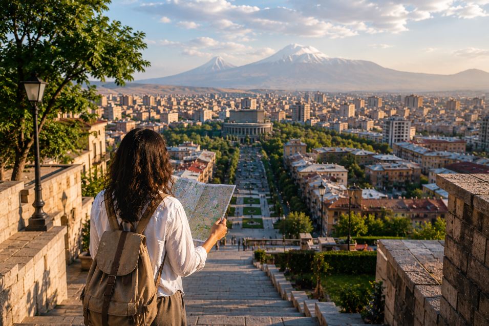
During the first days, every street can feel separate. Visitors depend heavily on maps and carefully follow each turn.
Then familiar connections begin to appear.
You realize that one avenue leads naturally toward a park. A staircase connects two routes you previously considered distant. A visible building helps you understand which direction the centre lies.
The city gradually changes from a set of destinations into a connected mental picture.
This is the moment when a visitor begins navigating more like a resident.
You Start Creating Your Own Landmarks
After enough time in Yerevan, you begin developing personal reference points.
You may remember a corner because of the smell of fresh bread, a street because of its evening light or a building because you waited there during unexpected rain.
These landmarks may be meaningless to everyone else, but they become part of your own map.
That is how cities become familiar.
We do not memorize every coordinate. We attach places to experiences.
What Yerevan’s Informal Map Reveals About the City
The way people give directions tells us something about how they relate to their surroundings.
A city described through shops, courtyards, schools and old buildings is a city experienced closely.
Residents notice street-level details because daily life happens among them. Navigation remains connected to conversation, memory and shared knowledge.
This informal geography can occasionally confuse newcomers, but it also makes the city feel human.
An address tells you where a place is. A local explanation tells you how the neighborhood understands it.
Final Thoughts
Yerevan becomes easier to navigate when you stop expecting it to behave like a perfect diagram.
Its routes are shaped not only by streets but also by hills, passages, courtyards, crossings and the habits of the people who use them.
Digital maps remain valuable, but they become much more effective when combined with observation and local advice.
Look for visible landmarks. Notice whether you are moving uphill or downhill. Confirm which side of the building contains the entrance. Ask for the nearest shop, stop or crossing.
Most importantly, listen carefully when a resident explains a route through memory.
They may not be describing Yerevan in the language of cartography, but they are showing you how the city is actually lived.
Discover more from YEREVAN INFO
Subscribe to get the latest posts sent to your email.